Clearing Land Near Wetlands: What You Can and Cannot Do in Kentucky
You can clear land near wetlands in Kentucky, but there are rules. Buffer zones, permits, and the right method make the difference between a clean project and a regulatory mess.
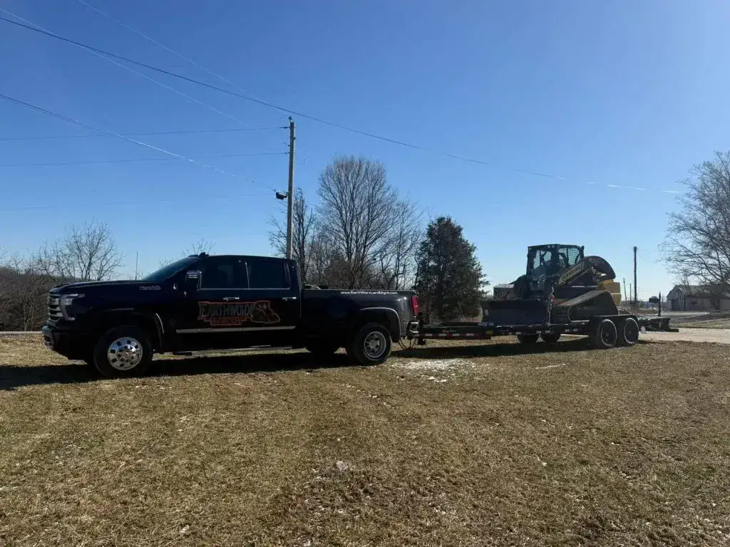
Land clearing near wetlands in Kentucky requires compliance with Army Corps of Engineers Section 404 permit requirements and Kentucky Division of Water regulations. Buffer zones of 25 to 100 feet are typically required around wetlands. Forestry mulching is often preferred near wetlands because it does not disturb soil or create sediment runoff. An environmental survey or wetland delineation may be required before clearing within 200 feet of a potential wetland.
Wetlands Are More Common Than You Think
When most people hear "wetland," they picture a swamp. But in Kentucky, wetlands include a much wider range of features: seasonal ponds that hold water in spring, low areas along creeks that flood periodically, seeps on hillsides, and flat bottomland that stays saturated even when there is no standing water. You can have a wetland on your property and not realize it because it looks like a normal low spot most of the year.
In Boone and Grant County, wetlands are common along creek bottoms and in the flat areas between ridges. The heavy clay soil holds water near the surface, and even small depressions can qualify as jurisdictional wetlands under federal law.
This matters for land clearing because the rules change dramatically within a certain distance of a wetland. What you can do to your own property on high ground, you may not be able to do near a wetland without permits, surveys, and specific methods.
The Regulations: Who Is in Charge
Army Corps of Engineers (Federal)
The U.S. Army Corps of Engineers regulates dredge and fill activities in waters of the United States under Section 404 of the Clean Water Act. Wetlands are "waters of the United States." If your clearing activity involves placing fill material into a wetland, moving soil within a wetland, or significantly altering drainage patterns that affect a wetland, you likely need a Section 404 permit.
The Louisville District of the Army Corps covers most of Kentucky. The Huntington District covers the northeastern counties. Getting a Section 404 permit is not fast. Individual permits can take 6 to 12 months. Nationwide permits (for smaller impacts) are quicker but still involve a 30- to 60-day review.
Kentucky Division of Water (State)
The Kentucky Division of Water (KDOW) regulates water quality and issues state water quality certifications (Section 401) that are required alongside federal Section 404 permits. They also administer the Kentucky Pollutant Discharge Elimination System (KPDES) permits for stormwater discharge from construction sites.
If your land clearing project disturbs more than one acre of ground, you need a KPDES construction stormwater permit regardless of wetland proximity. Near wetlands, KDOW may impose additional conditions including larger buffer zones and specific erosion control measures.
County and City Regulations
Some counties and cities in Northern Kentucky have their own wetland or stream buffer ordinances that go beyond state and federal requirements. Boone County, for example, has floodplain and stream buffer requirements that affect clearing near waterways. Check with your local planning and zoning office before starting any clearing near water features.
Buffer Zone Requirements
A buffer zone is an area of undisturbed vegetation between your clearing activity and the wetland edge. The width of the required buffer depends on the regulatory authority and the type of wetland.
- Federal (Army Corps): No specific buffer width is mandated by regulation, but permit conditions routinely require 25 to 50-foot buffers around permitted impacts.
- Kentucky Division of Water: Guidance documents recommend 25 to 100-foot buffers depending on slope, soil type, and the nature of the wetland.
- Local ordinances: Vary. Some Northern Kentucky municipalities require 50-foot buffers around streams and wetlands within their jurisdiction.
The buffer zone is measured from the delineated edge of the wetland, not from standing water. Wetland edges extend beyond the visible water into areas that are saturated in the root zone. A professional wetland delineation establishes this boundary precisely.
In practice, most clearing projects near wetlands end up with a 50-foot buffer as a standard. That means the mulcher stays 50 feet back from the delineated wetland edge. We flag that line before starting work so there is no question about where to stop.
Why Forestry Mulching Is Preferred Near Wetlands
This is where equipment choice makes a real regulatory difference.
A bulldozer near a wetland creates exposed soil. Exposed soil in rain becomes sediment-laden runoff. That runoff flows downhill into the wetland. Sediment in a wetland is a water quality violation. One heavy rainstorm after a bulldozer has been working near a wetland can trigger an enforcement action from KDOW.
Forestry mulching does not expose soil. The root systems stay in the ground. The mulch layer covers the surface. Sediment generation from a properly mulched site is minimal to zero, even in heavy rain.
We have had projects where the county planning office or the project engineer specifically required forestry mulching rather than traditional clearing because of proximity to wetlands. On a recent project in Grant County, the site plan stipulated that no ground-disturbing equipment would operate within 100 feet of a delineated wetland. Our forestry mulcher was approved because it does not disturb the ground surface. A bulldozer would not have been.
When You Need an Environmental Survey
If your property has any of the following features, you should consider a wetland delineation before clearing:
- Standing water at any time of year in low areas, even seasonal
- Saturated soil when you dig 12 to 18 inches in low spots
- Cattails, sedges, or rushes growing in low areas
- A stream, creek, or drainage channel on or adjacent to the property
- National Wetland Inventory mapping showing wetlands on or near the parcel (check the USFWS Wetlands Mapper online)
A wetland delineation is performed by an environmental consultant who visits the site, examines soil, vegetation, and hydrology, and flags the wetland boundaries. The delineation report is submitted to the Army Corps for approval. A confirmed delineation is valid for 5 years.
Cost for a wetland delineation in our area runs $2,000 to $5,000 depending on the size of the property and the complexity of the wetland features. This is money well spent compared to the cost of an enforcement action after the fact.
Real Examples of Wetland-Adjacent Clearing
Farm Property in Grant County
A landowner wanted to reclaim 15 acres of overgrown pasture that included a 2-acre wet meadow in a low area. The wet meadow had standing water in spring and was dominated by cattails and sedges. A wetland delineation confirmed it was a jurisdictional wetland.
We cleared the upland portions of the property (13 acres) by forestry mulching, maintaining a 50-foot buffer around the delineated wetland. No permits were required for the upland clearing because we did not impact the wetland or its buffer. The landowner now has 13 usable acres and a 2-acre natural area that provides habitat and seasonal water management.
Residential Lot in Boone County
A homeowner in Union wanted to clear a 1-acre backyard that sloped down to a small intermittent stream with a boggy area along the bank. The stream and boggy area were potential wetlands.
We recommended a wetland delineation before clearing. The consultant determined the boggy area was a 0.3-acre jurisdictional wetland. We mulched the upland portion of the lot (about 0.6 acres) with a 35-foot buffer from the wetland edge. The homeowner gained usable yard space without triggering any permit requirements.
Pond Bank Clearing in Boone County
A property owner had an old farm pond with the dam and banks overgrown with willow, multiflora rose, and cattails. The pond itself was not a jurisdictional wetland (it was a man-made impoundment), but the cattail fringe along the edges had characteristics of wetland vegetation.
We cleared the dam and upper banks by mulching, staying above the normal water line. The cattail fringe at water level was left in place. No permits were needed because we did not impact the wetland vegetation or place any fill in the pond. The dam is now visible and accessible for maintenance, which was the whole point.
What You Can Do Without a Permit
Generally, you can clear land near wetlands without a permit if you:
- Stay outside the wetland boundary and any required buffer zone
- Do not discharge fill material into the wetland
- Do not significantly alter drainage patterns that feed the wetland
- Use methods that do not create sediment-laden runoff (like forestry mulching)
- Are not converting wetland to dry land
This is general guidance, not legal advice. Every property is different. When in doubt, contact the Army Corps Louisville District regulatory office. They have field staff who will visit your site and give you an informal determination of whether your project needs a permit. That service is free.
What Requires a Permit
- Filling any portion of a wetland (even a small area)
- Grading within a wetland
- Building a road, driveway, or structure in a wetland
- Ditching or draining a wetland
- Any activity that destroys wetland vegetation within the wetland boundary
Penalties for unpermitted wetland impacts are serious. Federal fines can reach $25,000 per day of violation plus the cost of wetland restoration, which often runs $50,000 to $100,000 per acre.
Planning Your Project
If you have property with wetland features and want to clear some or all of the upland areas, here is the sequence we recommend:
- Check the National Wetland Inventory map for your property. This is a free online tool that shows mapped wetlands. It is not definitive but gives a starting point.
- Walk the property with us during the site visit. We can identify likely wetland areas and recommend whether a formal delineation is needed.
- Get a wetland delineation if warranted. Better to spend $2,000 on a survey than $50,000 on a violation.
- Plan the clearing around the wetland buffers. Once boundaries are established, we know exactly where we can and cannot work.
- Clear the upland areas by forestry mulching, maintaining all buffer requirements.
EarthWorx handles wetland-adjacent clearing projects across Grant County, Boone County, and the surrounding area. Request a free estimate — we work with environmental consultants and understand the permitting process. If your property has wet areas and you are not sure what the rules are, the site visit is the place to start that conversation.
Related Services
We Serve These Areas
Clearing Land Near Wetlands: What You Can and Cannot Do in Kentucky FAQ
Yes, you can clear upland areas near wetlands as long as you stay outside the wetland boundary and any required buffer zone, use methods that do not create sediment runoff, and do not alter drainage patterns affecting the wetland. Forestry mulching is the preferred method because it does not disturb soil.
You need a Section 404 permit from the Army Corps of Engineers if your clearing involves fill material, grading, or any direct impact within a wetland boundary. Clearing upland areas near wetlands using forestry mulching typically does not require a permit if proper buffers are maintained.
Buffer widths vary by regulatory authority and local ordinance, ranging from 25 to 100 feet. In practice, 50 feet from the delineated wetland edge is the most common standard for clearing projects in Northern Kentucky. Local municipalities may require wider buffers.
A wetland delineation in the Northern Kentucky area costs $2,000 to $5,000 depending on property size and complexity. The delineation is performed by an environmental consultant and establishes legal wetland boundaries. The report is valid for 5 years once confirmed by the Army Corps.
Unpermitted wetland impacts carry federal fines up to $25,000 per day of violation, plus the cost of wetland restoration, which typically runs $50,000 to $100,000 per acre. State penalties and enforcement actions may apply as well. Always verify wetland boundaries before clearing.
Forestry mulching does not expose bare soil, which means no sediment runoff into the wetland. Root systems stay intact, and the mulch layer acts as an erosion barrier. Bulldozing strips topsoil and creates exposed clay that generates sediment in rain, which can violate water quality standards and trigger enforcement.
Ready to Get Started?
Free on-site estimates for all properties in our service area.
Ready to Clear Your Land?
Get a free, no-obligation estimate for your project. We respond fast and show up on time.
Try our cost calculator · Serving Northern Kentucky, Greater Cincinnati, and Southeast Indiana · 24/7 — Emergency Service Available